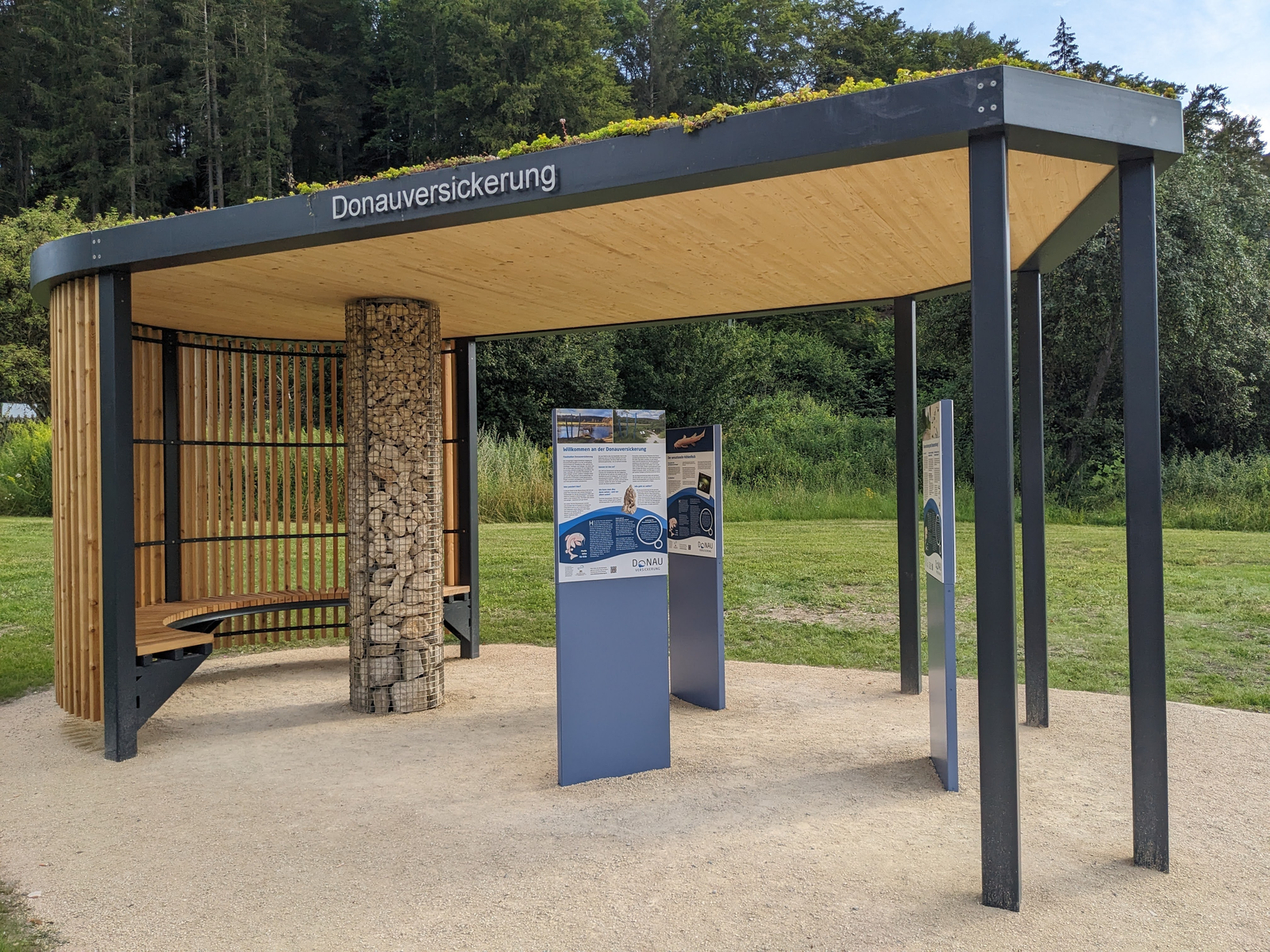
Donaubergland Er ffnung Info Point Immendingen Info Point Foto Reizner © Donaubergland Tourismus GmbH

The fascination of Danube infiltration

Danube infiltration

Info-Point Danube infiltration Immendingen

  • Info-Points

Unterer Ösch, 78194 Immendingen

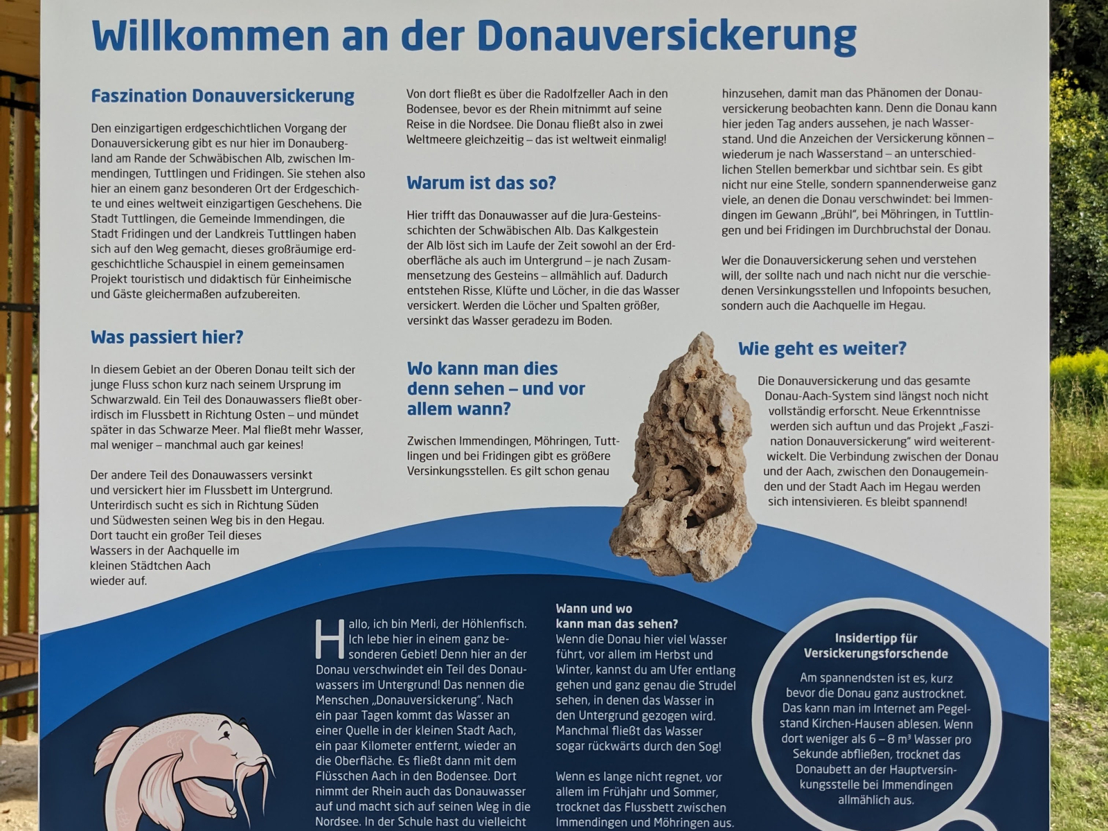
Donaubergland Er ffnung Info Point Immendingen Info Tafel 1 Foto Reizner © Donaubergland Tourismus GmbH

Welcome to Info-Point Danube infiltration Immendingen

Official Donaubergland Information Point on the Danube Infiltration Area along the Danube Cycle Path: a covered pavilion near Immendingen Along the Danube Cycle Path between Immendingen and Fridingen in the Danube Valley, there are three Donaubergland Information Points located along the Danube Infiltration Area. The information point in Immendingen is located near the first main sinkhole, by the covered wooden bridge, in the immediate vicinity of the Danube Park, right on the Danube Cycle Path. Its informational panels provide key details and insights about the “Fascination: Danube Infiltration” project, as well as about this geologically unique phenomenon of Danube infiltration. The Danube infiltration site is an official geopoint of the UNESCO Global Geopark Schwäbische Alb.

Source: DZT Knowledge Graph

Interesting Facts

The info points

What do the new info points on Danube infiltration mean?

From summer 2024, there will be three covered information points on the Danube where you can find out more about Danube infiltration. Each has its own focus.
Interesting locations

Please accept cookies on this page to use the map feature.

Loading...

No locations found for this filter combination!

No locations found for this filter combination!

Transfer to mobile device

Scan the code to view this page on your smartphone or tablet.

We use cookies to provide you with the best possible browsing experience. Please note that when you accept only essential cookies, some of the website features may be unavailable or limited. You can find more information in our Privacy policy.